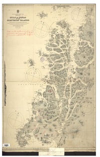
Mapoteca / Colección General
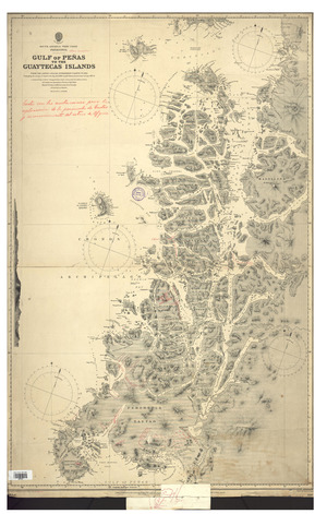
Gulf of Peñas to the Guaytecas Islands South America-West Coast-Patagonia : from the latest Chilian Government chart 1873, embodying the surveys of Captain Fitz Roy, R.N.1830-5, and Chilian Government surveys, 1870-3. [material cartográfico] :
Metadatos
- Título
- Gulf of Peñas to the Guaytecas Islands South America-West Coast-Patagonia : from the latest Chilian Government chart 1873, embodying the surveys of Captain Fitz Roy, R.N.1830-5, and Chilian Government surveys, 1870-3. [material cartográfico] :
- Tipo de acceso
- Acceso en línea
- Tipo
- Material cartográfico
- Datos de Publicación
- London : Admiralty, 15th May 1889. [London] : [Admiralty], Septr. 1903.
- Descripción Física
-
1 mapa : blanco y negro ; 98 x 97 cm, en hoja 84 x 101 cm.
- Notas
-
General
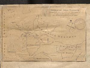
Incluye notas manuscritas y al reverso, Croquis del canal Pilcomayo.
En extremo inferior: Small corrections -- Large corrections: Sepr. 1903 -- Engraved by Davies & Company.
Forma física adicional disponible
Disponible en formato digital.
Reproducción
Reproducción electrónica. Santiago, Chile : Biblioteca Nacional de Chile, Laboratorio Digital, 2015 y 2023 (MP0001505_0002). Objeto digital: MP0001505 y MP0001505_0002
Términos de uso y reproducción
Acceso en línea (dominio público) sin restricción de reproducción.
- Referencia Bibliográfica
-
Gulf of Peñas to the Guaytecas Islands South America-West Coast-Patagonia : from the latest Chilian Government chart 1873, embodying the surveys of Captain Fitz Roy, R.N.1830-5, and Chilian Government surveys, 1870-3. [material cartográfico] : London : Admiralty, 15th May 1889. [London] : [Admiralty], Septr. 1903. 1 mapa : blanco y negro ; 98 x 97 cm, en hoja 84 x 101 cm. .
- Materia
- Cartas náuticas
- Años
- 1903
- Idioma
- eng
- Colección
- Mapoteca / Colección General
- BND Id
- 157280
- Códigos BN
- MP0001505
- Nº sistema
- 684499
- Miniatura