![]()
![]()
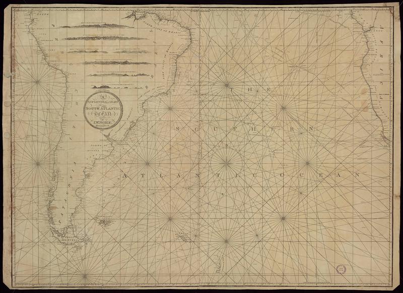
1817 (3)
Mapoteca / Colección General
New general chart of the South Atlantic [material cartográfico] drawn by J.W. Norie.
Costas del Océano Atlántico (América del Sur) - Cartas náuticas - Mapas
![Steel's new and accurate chart of the Mediterranean Sea compiled and carefully reduced from a variety of original and authentic documents particularly from the surveys & observations [material cartográfico] : recently made by Vincent Tofino and other Officers of extensive Science and Experience under the orders and the expense of the respective goverments of Spain, France & Italy, Including a Plan of the Island of Malta.](articles-354291_thumbnail.jpg "Steel's new and accurate chart of the Mediterranean Sea compiled and carefully reduced from a variety of original and authentic documents particularly from the surveys & observations [material cartográfico] : recently made by Vincent Tofino and other Officers of extensive Science and Experience under the orders and the expense of the respective goverments of Spain, France & Italy, Including a Plan of the Island of Malta.")
Mapoteca / Mapas Extranjeros
Steel's new and accurate chart of the Mediterranean Sea compiled and carefully reduced from a variety of original and authentic documents particularly from the surveys & observations [material cartográfico] : recently made by Vincent Tofino and other Officers of extensive Science and Experience under the orders and the expense of the respective goverments of Spain, France & Italy, Including a Plan of the Island of Malta.
Mapas - Mar Mediterráneo
![To the right honorable the Masters, Wardens and Elder Brother of the Trinity House, this chart of the English Channel [material cartográfico] : is by permifsion most respectfully dedicated by their obligued and grateful servant William Heather; drawn revised and corrected by J.M. Norie, Hydrographer.](articles-354295_thumbnail.jpg "To the right honorable the Masters, Wardens and Elder Brother of the Trinity House, this chart of the English Channel [material cartográfico] : is by permifsion most respectfully dedicated by their obligued and grateful servant William Heather; drawn revised and corrected by J.M. Norie, Hydrographer.")
Mapoteca / Mapas Extranjeros