![]()
![]()
Lonquimay (Malleco, Chile) (32)

IGM / Escala 1:50.000
Cerro Batea-Mahuida [material cartográfico] Instituto Geográfico Militar.
Mapas - Lonquimay (Malleco, Chile)
![Cordillera de Pemehue 3800 - 7130 [material cartográfico] : Instituto Geográfico Militar de Chile.](articles-334187_thumbnail.jpg "Cordillera de Pemehue 3800 - 7130 [material cartográfico] : Instituto Geográfico Militar de Chile.")
IGM / Escala 1:50.000
Cordillera de Pemehue [material cartográfico] Instituto Geográfico Militar de Chile.
Mapas - Collipulli (Malleco, Chile) - Mulchén (Biobío, Chile) - Curacautín (Malleco, Chile) - Quilaco (Biobío, Chile) - Lonquimay (Malleco, Chile)
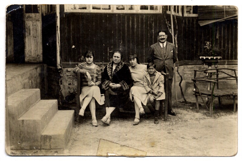
Archivo Fotográfico / Octavio Cornejo
[Familia en casa de Lonquimay] [fotografía].
Fotografías - Familia - Lonquimay (Malleco, Chile)
")
IGM / Escala 1:50.000
Laguna de Icalma [material cartográfico] Instituto Geográfico Militar.
Lonquimay (Malleco, Chile) - Melipeuco (Cautín, Chile) - Curarrehue (Cautín, Chile) - Mapas
![Laguna de Icalma 3845 - 7115 [material cartográfico] : Instituto Geográfico Militar de Chile.](articles-334306_thumbnail.jpg "Laguna de Icalma 3845 - 7115 [material cartográfico] : Instituto Geográfico Militar de Chile.")
IGM / Escala 1:50.000
Laguna de Icalma [material cartográfico] Instituto Geográfico Militar de Chile.
Mapas - Lonquimay (Malleco, Chile) - Melipeuco (Cautín, Chile) - Curarrehue (Cautín, Chile)
![Laguna Escondida G-067 (38° 15'- 70° 45') [material cartográfico] preparado y publicado por el Instituto Geográfico Militar.](articles-334792_thumbnail.jpg "Laguna Escondida G-067 (38° 15'- 70° 45') [material cartográfico] preparado y publicado por el Instituto Geográfico Militar.")
IGM / Escala 1:50.000
Laguna Escondida [material cartográfico] Instituto Geográfico Militar.
Lonquimay (Malleco, Chile) - Mapas
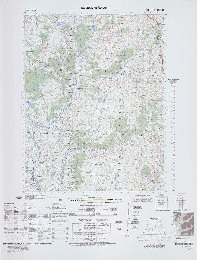
IGM / Escala 1:50.000
Laguna Mariñanqui [material cartográfico] Instituto Geográfico Militar.
Mapas - Lonquimay (Malleco, Chile)
![Laguna Mariñanqui 38°15'15.00"-70°55'08.60") [material cartográfico] : Instituto Geográfico Militar de Chile.](articles-339052_thumbnail.jpg "Laguna Mariñanqui 38°15'15.00\"-70°55'08.60\") [material cartográfico] : Instituto Geográfico Militar de Chile.")
IGM / Escala 1:50.000
Laguna Mariñanqui [material cartográfico] Instituto Geográfico Militar de Chile.
Lonquimay (Malleco, Chile) - Mapas
![Laguna Mariñanqui 3815 - 7055 [material cartográfico] : Instituto Geográfico Militar de Chile.](articles-339173_thumbnail.jpg "Laguna Mariñanqui 3815 - 7055 [material cartográfico] : Instituto Geográfico Militar de Chile.")
IGM / Escala 1:50.000
Laguna Mariñanqui [material cartográfico] Instituto Geográfico Militar de Chile.
Lonquimay (Malleco, Chile) - Mapas
![Laguna Mariñanqui 3815 - 7055 [material cartográfico] : Instituto Geográfico Militar de Chile.](articles-339130_thumbnail.jpg "Laguna Mariñanqui 3815 - 7055 [material cartográfico] : Instituto Geográfico Militar de Chile.")
IGM / Escala 1:50.000
Laguna Mariñanqui [material cartográfico] Instituto Geográfico Militar de Chile.
Lonquimay (Malleco, Chile) - Mapas
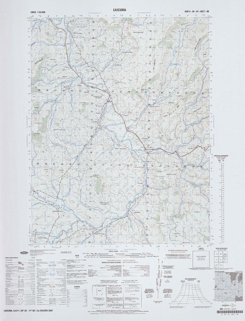
IGM / Escala 1:50.000
Liucura [material cartográfico] Instituto Geográfico Militar.
Mapas - Lonquimay (Malleco, Chile)
![Liucura 3830 - 7100 [material cartográfico] : Instituto Geográfico Militar de Chile.](articles-338942_thumbnail.jpg "Liucura 3830 - 7100 [material cartográfico] : Instituto Geográfico Militar de Chile.")
IGM / Escala 1:50.000
Liucura [material cartográfico] Instituto Geográfico Militar de Chile.
Lonquimay (Malleco, Chile) - Mapas
![Lolco 3800 - 7115 [material cartográfico] : Instituto Geográfico Militar de Chile.](articles-338943_thumbnail.jpg "Lolco 3800 - 7115 [material cartográfico] : Instituto Geográfico Militar de Chile.")
IGM / Escala 1:50.000
Lolco [material cartográfico] Instituto Geográfico Militar de Chile.
Lonquimay (Malleco, Chile) - Quilaco (Biobío, Chile) - Santa Bárbara (Biobío, Chile) - Mapas
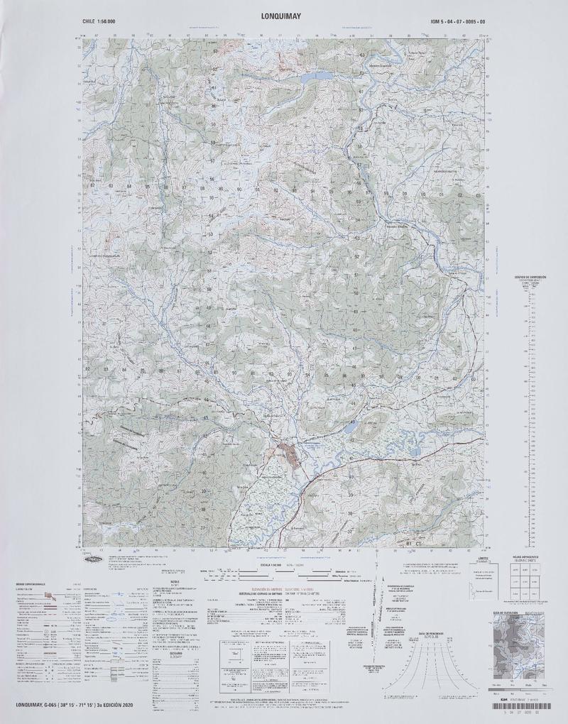
IGM / Escala 1:50.000
Lonquimay [material cartográfico] Instituto Geográfico Militar.
Curacautín (Malleco, Chile) - Mapas - Lonquimay (Malleco, Chile)
IGM / Escala 1:50.000
Lonquimay [material cartográfico] Instituto Geográfico Militar.
Curacautín (Malleco, Chile) - Mapas - Lonquimay (Malleco, Chile)
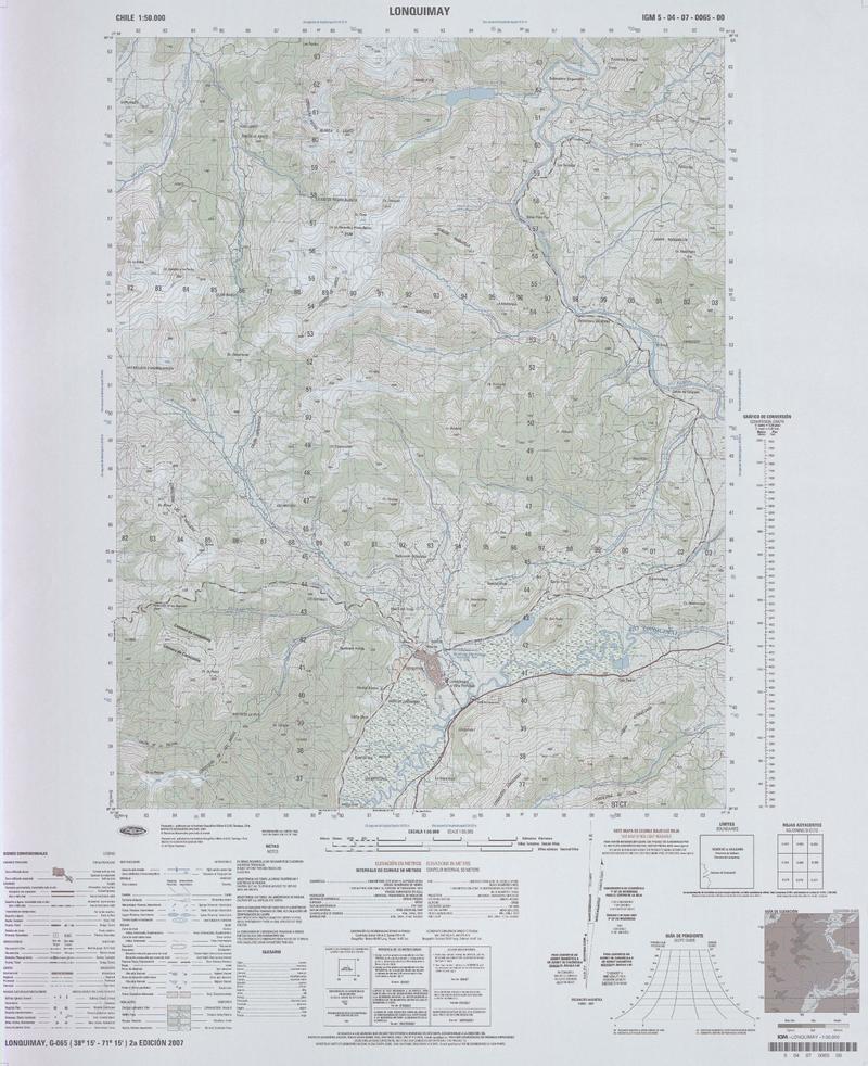
![Lonquimay 3815 - 7115 [material cartográfico] : Instituto Geográfico Militar de Chile.](articles-338944_thumbnail.jpg "Lonquimay 3815 - 7115 [material cartográfico] : Instituto Geográfico Militar de Chile.")
IGM / Escala 1:50.000
Lonquimay [material cartográfico] Instituto Geográfico Militar de Chile.
Mapas - Lonquimay (Malleco, Chile) - Curacautín (Malleco, Chile)
IGM / Escala 1:50.000
Malalcahuello [material cartográfico] Instituto Geográfico Militar.
Quilaco (Biobío, Chile) - Lonquimay (Malleco, Chile) - Curacautín (Malleco, Chile) - Mapas
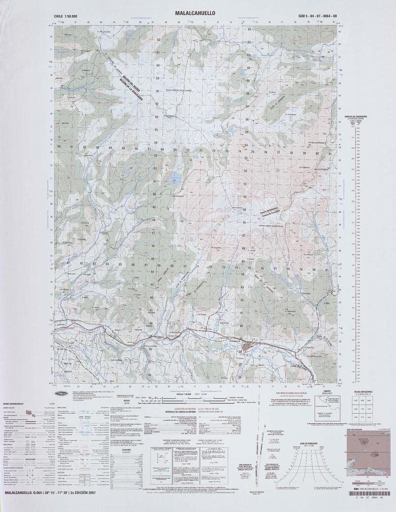
![Malalcahuello 3815 - 7130 [material cartográfico] : Instituto Geográfico Militar de Chile.](articles-334623_thumbnail.jpg "Malalcahuello 3815 - 7130 [material cartográfico] : Instituto Geográfico Militar de Chile.")
IGM / Escala 1:50.000
Malalcahuello [material cartográfico] Instituto Geográfico Militar de Chile.
Mapas - Lonquimay (Malleco, Chile) - Quilaco (Biobío, Chile) - Curacautín (Malleco, Chile)
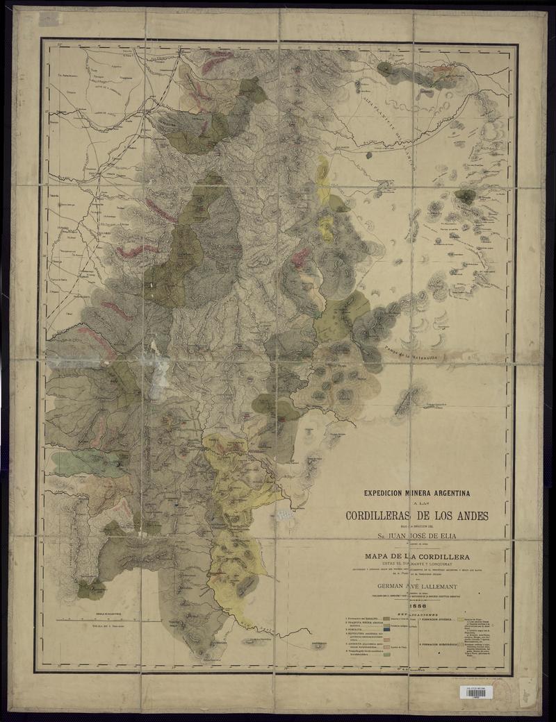
Mapoteca / Colección General
Mapa de la Cordillera entre El Diamante y Lonquimay construido y dibujado según sus propios levantamientos en el territorio argentino y según los datos de A. Pissis en el territorio chileno [material cartográfico] : Germán Avé Lallemant ; publicado con el concurso y bajo la inspección de la Sociedad Científica Argentina.
Lonquimay (Malleco, Chile) - Mapas - El Diamante (Chile) - Minas
![Melipeuco (38°45' - 71°30') [material cartográfico] : Instituto Geográfico Militar de Chile.](articles-339091_thumbnail.jpg "Melipeuco (38°45' - 71°30') [material cartográfico] : Instituto Geográfico Militar de Chile.")
IGM / Escala 1:50.000
Melipeuco [material cartográfico] Instituto Geográfico Militar de Chile.
Lonquimay (Malleco, Chile) - Mapas - Curarrehue (Cautín, Chile) - Cunco (Cautín, Chile) - Melipeuco (Cautín, Chile)
![Melipeuco (38°45'14.90"-71°3'08.80") [material cartográfico] : Instituto Geográfico Militar de Chile.](articles-339051_thumbnail.jpg "Melipeuco (38°45'14.90\"-71°3'08.80\") [material cartográfico] : Instituto Geográfico Militar de Chile.")
IGM / Escala 1:50.000
Melipeuco [material cartográfico] Instituto Geográfico Militar de Chile.
Lonquimay (Malleco, Chile) - Mapas - Curarrehue (Cautín, Chile) - Cunco (Cautín, Chile) - Melipeuco (Cautín, Chile)
![Melipeuco 3845 - 7130 [material cartográfico] : Instituto Geográfico Militar de Chile.](articles-339020_thumbnail.jpg "Melipeuco 3845 - 7130 [material cartográfico] : Instituto Geográfico Militar de Chile.")
IGM / Escala 1:50.000
Melipeuco [material cartográfico] Instituto Geográfico Militar de Chile.
Lonquimay (Malleco, Chile) - Mapas - Curarrehue (Cautín, Chile) - Cunco (Cautín, Chile) - Melipeuco (Cautín, Chile)
")
IGM / Escala 1:50.000
Ranquil [material cartográfico] Instituto Geográfico Militar.
Mapas - Lonquimay (Malleco, Chile) - Santa Bárbara (Biobío, Chile)
![Ranquil 3800 - 7055 [material cartográfico] : Instituto Geográfico Militar de Chile.](articles-334327_thumbnail.jpg "Ranquil 3800 - 7055 [material cartográfico] : Instituto Geográfico Militar de Chile.")
IGM / Escala 1:50.000
Ranquil [material cartográfico] Instituto Geográfico Militar de Chile.
Mapas - Lonquimay (Malleco, Chile) - Santa Bárbara (Biobío, Chile)
![Ranquil 3800 - 7055 [material cartográfico] : Instituto Geográfico Militar de Chile.](articles-334326_thumbnail.jpg "Ranquil 3800 - 7055 [material cartográfico] : Instituto Geográfico Militar de Chile.")
IGM / Escala 1:50.000
Ranquil [material cartográfico] Instituto Geográfico Militar de Chile.
Lonquimay (Malleco, Chile) - Mapas - Santa Bárbara (Biobío, Chile)
![Río Pino Hachado G-078 (38° 30'- 70° 45') [material cartográfico] preparado y publicado por el Instituto Geográfico Militar.](articles-334793_thumbnail.jpg "Río Pino Hachado G-078 (38° 30'- 70° 45') [material cartográfico] preparado y publicado por el Instituto Geográfico Militar.")
IGM / Escala 1:50.000
Río Pino Hachado [material cartográfico] Instituto Geográfico Militar.
Mapas - Lonquimay (Malleco, Chile)
![Río Pino Hachado 3830 - 7045 [material cartográfico] : Instituto Geográfico Militar de Chile.](articles-333689_thumbnail.jpg "Río Pino Hachado 3830 - 7045 [material cartográfico] : Instituto Geográfico Militar de Chile.")
IGM / Escala 1:50.000
Río Pino Hachado [material cartográfico] Instituto Geográfico Militar de Chile.
Mapas - Lonquimay (Malleco, Chile)
IGM / Escala 1:50.000
Sierra Nevada [material cartográfico] Instituto Geográfico Militar.
Lonquimay (Malleco, Chile) - Mapas - Melipeuco (Cautín, Chile) - Curacautín (Malleco, Chile)
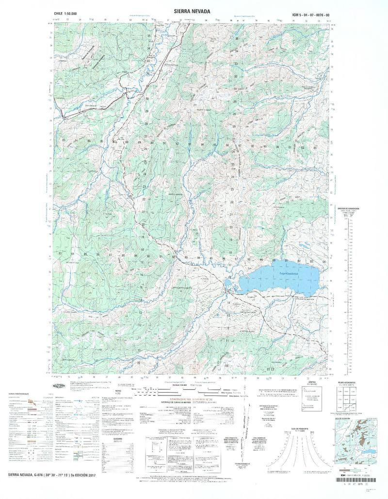
![Sierra Nevada 3830 - 7115 [material cartográfico] : Instituto Geográfico Militar de Chile.](articles-332158_thumbnail.jpg "Sierra Nevada 3830 - 7115 [material cartográfico] : Instituto Geográfico Militar de Chile.")
IGM / Escala 1:50.000
Sierra Nevada [material cartográfico] Instituto Geográfico Militar de Chile.
Lonquimay (Malleco, Chile) - Curacautín (Malleco, Chile) - Melipeuco (Cautín, Chile) - Mapas

IGM / Escala 1:50.000
Volcán Llaima [material cartográfico] Instituto Geográfico Militar.
Mapas - Melipeuco (Cautín, Chile) - Lonquimay (Malleco, Chile) - Curacautín (Malleco, Chile) - Vilcún (Cautín, Chile)
IGM / Escala 1:50.000
Volcán Llaima [material cartográfico] Instituto Geográfico Militar.
Lonquimay (Malleco, Chile) - Melipeuco (Cautín, Chile) - Curacautín (Malleco, Chile) - Vilcún (Cautín, Chile) - Mapas
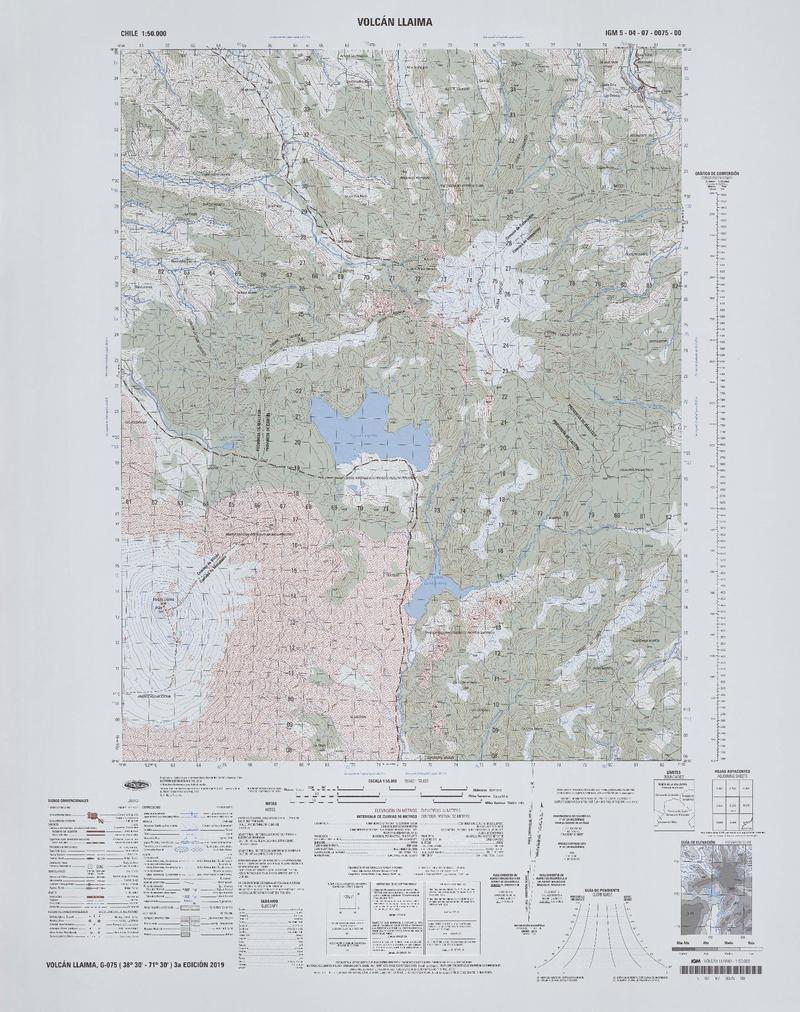
![Volcán Llaima 3830 - 7130 [material cartográfico] : Instituto Geográfico Militar de Chile.](articles-331828_thumbnail.jpg "Volcán Llaima 3830 - 7130 [material cartográfico] : Instituto Geográfico Militar de Chile.")
IGM / Escala 1:50.000