![]()
![]()
Cartas náuticas (16)

Mapoteca / SHOA
Archipiélago de las Guaitecas y Chonos Canal Moraleda de Melinca a Lagunas [material cartográfico] : por la Armada de Chile.
Cartas náuticas
Mapoteca / Colección General
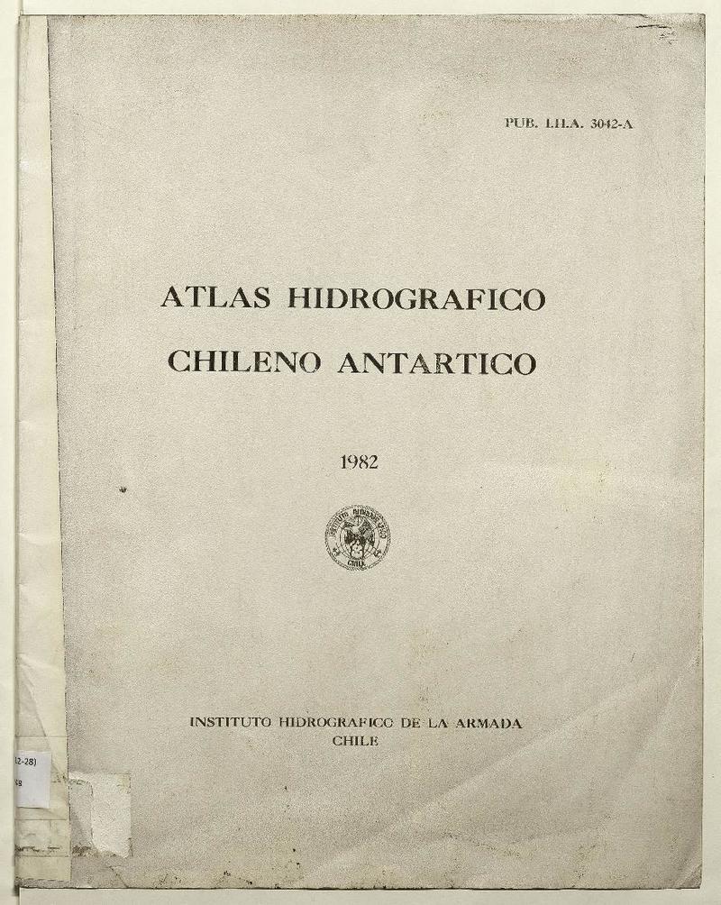
Atlas hidrográfico chileno antártico [material cartográfico].
Mapas - Antártica Chilena - Hidrografía - Levantamiento hidrográfico - Cartas náuticas
![Croquis de la comarca de Quintero con indicaciones de las dos Vías proyectadas del Ferrocarril que debe unir aquel puerto con Santiago i Valparaíso. [material cartográfico]](articles-350792_thumbnail.jpg "Croquis de la comarca de Quintero con indicaciones de las dos Vías proyectadas del Ferrocarril que debe unir aquel puerto con Santiago i Valparaíso. [material cartográfico]")
Sala Medina / Mapas
Croquis de la comarca de Quintero con indicaciones de las dos Vías proyectadas del Ferrocarril que debe unir aquel puerto con Santiago i Valparaíso. [material cartográfico]
Mapas - Quintero (chile) - Cartas náuticas
![Harbours and Anchorages in Magellan Strait : surveyed by Captain R.C.Mayne, R.N:-C.B. and the Officers of H.M.S. Nassau, 1868 [material cartográfico]](articles-346789_thumbnail.jpg "Harbours and Anchorages in Magellan Strait : surveyed by Captain R.C.Mayne, R.N:-C.B. and the Officers of H.M.S. Nassau, 1868 [material cartográfico]")
Sala Medina / Mapas
Harbours and Anchorages in Magellan Strait : surveyed by Captain R.C.Mayne, R.N:-C.B. and the Officers of H.M.S. Nassau, 1868 [material cartográfico]
Cartas náuticas - Mapas - Estrecho de Magallanes (Argentina y Chile)
![Isla Santa María costas de Chile [material cartográfico] : levantado por la Comisión Hidrográfica de la Bahía Arauco, a bordo de la cañonera "Magallanes" al mando del Cap. de C. don A. Wilson.](articles-156990_thumbnail.jpg "Isla Santa María costas de Chile [material cartográfico] : levantado por la Comisión Hidrográfica de la Bahía Arauco, a bordo de la cañonera \"Magallanes\" al mando del Cap. de C. don A. Wilson.")
Mapoteca / SHOA
Isla Santa María costas de Chile [material cartográfico] : levantado por la Comisión Hidrográfica de la Bahía Arauco, a bordo de la cañonera "Magallanes" al mando del Cap. de C. don A. Wilson, 1886.
Cartas náuticas

Mapoteca / Colección General
Mapa marítimo del Estrecho de Magallanes [material cartográfico] dedicado al Illmo. Sr. Don Pedro Rodríguez Campomanes.... por el Doctor Dn. Casimiro Ortega, promovedor de esta obra ; que gravó y construyó el geographo D. Juan de la Cruz Cano y Olmedilla....
Estrecho de Magallanes (Argentina y Chile) - Cartas náuticas - Tierra del Fuego (Argentina y Chile) - Mapas
Sala Medina / Mapas
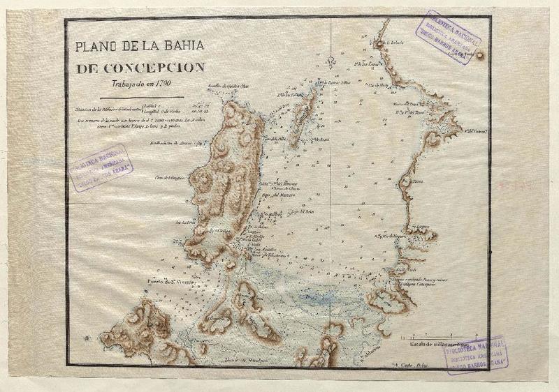
Plano de la Bahía de Concepción [material cartográfico]
Mapas - Concepción (Chile) - Cartas náuticas

Mapoteca / SHOA
Plano del río Aysén i del paso Simpson [material cartográfico] levantado de órden del Comandante de la Corbeta Chacabuco C. de F. D. Enrique M. Simpson, por los Oficiales del mismo buque, D. A. Garrao i D. J. M. Simpson en diciembre de 1871.
Cartas náuticas
![Plano del Río Maullín i sus tributarios [material cartográfico] Formado por la Comisión Esploradora de Chiloé i LLanquihue ; bajo la Dirección del Cap. G. de Fta. Francisco Vidal Gormaz.](articles-156974_thumbnail.jpg "Plano del Río Maullín i sus tributarios [material cartográfico] Formado por la Comisión Esploradora de Chiloé i LLanquihue ; bajo la Dirección del Cap. G. de Fta. Francisco Vidal Gormaz.")
Mapoteca / SHOA
Plano del Río Maullín i sus tributarios [material cartográfico] formado por la Comisión esploradora de Chiloé i LLanquihue, bajo la Dirección del C. G. de Fta. Francisco Vidal Gormaz.
Cartas náuticas

Mapoteca / SHOA
Plano del Río Maullín [material cartográfico] levantado por los oficiales del Janequeo, en los meses de octubre i noviembre de 1857.
Cartas náuticas
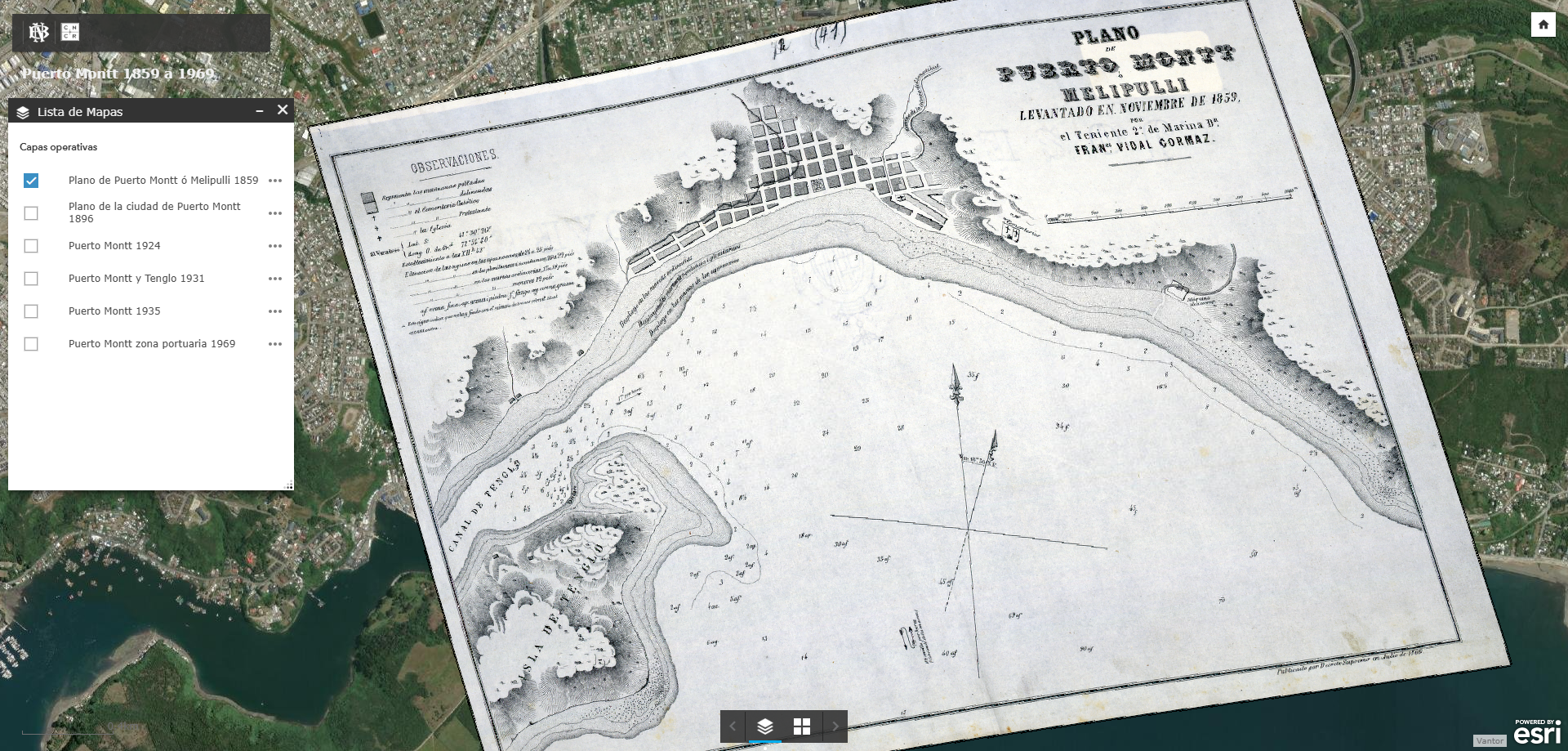
Colecciones Digitales / Mapas Patrimoniales
Puerto Montt (1859-1969).
Mapas - Mapas antiguos - Puerto Montt (Chile) - Cartas náuticas - Chile


Mapoteca / SHOA
Puertos de Caldera y Calderilla [material cartográfico] por la Marina de Chile.
Cartas náuticas
![Rada de Arica Costa de Chile [material cartográfico] : Levantado por los Oficiales de la "Corbeta Abtao" al mando del Capn. de C. Sr. Arturo Fernández ; Grabó A. Pérez Ibáñez.](articles-156994_thumbnail.jpg "Rada de Arica Costa de Chile [material cartográfico] : Levantado por los Oficiales de la \"Corbeta Abtao\" al mando del Capn. de C. Sr. Arturo Fernández ; Grabó A. Pérez Ibáñez.")
Mapoteca / SHOA
Rada de Arica costa de Chile [material cartográfico] : levantado por los Oficiales de la "Corbeta Abtao" al mando del Capn. de C. Sr. Arturo Fernández en 1887.
Cartas náuticas
![South America, Magellan Strait : anchorages in famine and froward reaches [material cartográfico]](articles-346788_thumbnail.jpg "South America, Magellan Strait : anchorages in famine and froward reaches [material cartográfico]")
Sala Medina / Mapas
South America, Magellan Strait : anchorages in famine and froward reaches [material cartográfico]
Cartas náuticas - Estrecho de Magallanes (Argentina y Chile)

Mapoteca / Colección General